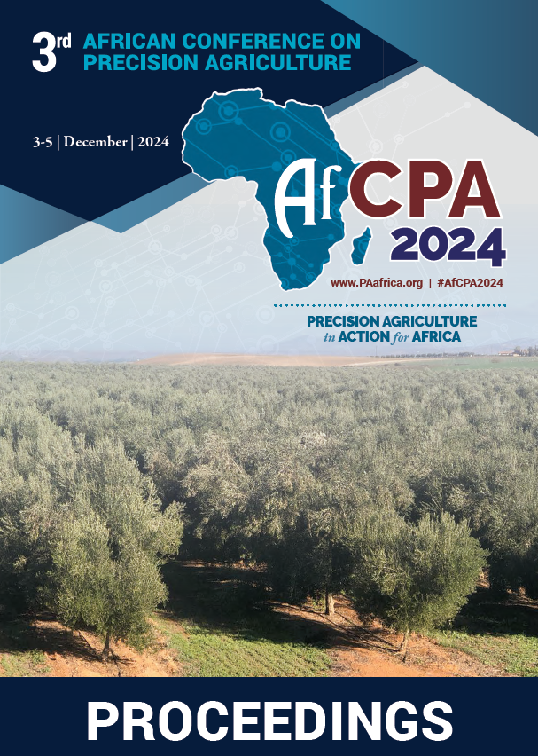
Download the Conference Proceedings
Proceedings
Authors
| Filter results10 paper(s) found. |
|---|
1. Cashew Trees Detection and Yield Analysis using UAV-based MapIn this study we developed a novel method to detect cashew trees in an orthophoto map derived from images collected by an unmanned aerial vehicle (UAV). We also suggest a way in which these detections can be used to analyse the yield of the cashew farm. The proposed method uses images analysis to find the tops of trees, to merge different tops located on the same tree, and to segment individual tree. The segmented trees are used in a deep learning framework to know the exact location of cashew... T. Bayala, I. Ouattara, A. Visala, S. Malo |
2. Soil fertility mapping of Dry savannah zone of TogoIncreasing agricultural productivity and therefore the production requires a good knowledge of the soil fertility status and a sustainable nutrients management. The objective of this study is to map spatial distribution of some selected soil fertility parameters in the dry savannah agro-ecological zone that covers the regions of Savanes and Kara in Togo. Soil fertility parameters such as pH, available phosphorus (P), exchangeable potassium (K) and organic matter were determined in soil samples... K.K. Ganyo, K.A. Ablede , K. Koudjega, S. Ani, K. Afawoubo, D.A. Anoumou, A.T. Mensah, E. Assih-faram, M. Tchalla-kpondji, K. Kpemoua, Y. Lombo |
3. Determining Nutrients rates for Maize, Rice, Cotton, and Tomato in Dry Savannah zone of Togo based on site specific nutrient management approachInadequate fertilizer application limits crop yields and lead to the soil fertility depletion. This study aims at formulating nutrients rates recommendations for main the crops in dry savannah zone of Togo. Site specific nutrient management approach based on spatial variations in nutrients status, crops nutrients requirement and average crop yields under field conditions was used to determine recommendations rates in N, P and K. For maize cropping, nutrients needs are 94 kgN.ha-1, 42... |
4. A precision irrigation app for smart water management by farmersIn a context of climate change and water scarcity which is globally recognized, Morocco is one of the countries that are facing already insufficient water supply for irrigation in order to sustain productivity and food security. Therefore, there is a strong need for adapting agricultural practices and developing new technologies for efficient and smart irrigation management to make best use of available water and maximize productivity per unit of consumed water. Recent studies have shown that... A. Abouabdillah , R. Bouabid |
5. Autonomous Hexacopter Spraying drones for plants protectionAbbes KAILIL1, Hassan BENAOUDA2, Abdelhakim MOHCINE3, 1 Eng. Doctor in aerospace engineering, Moroccan Industry Services & Engineering SARL, Morocco. 2 Eng. Doctor in Agriculture, INRA, Morocco. 3 Engineer in agriculture, ONCA, Morocco. Farming technologies have considerably... H. Benaouda, A. Mohsine, A. Kailil |
6. Climate Smart Agriculture: Constraints, Challenges and Opportunities to Promote the System in EthiopiaAgriculture is vital to the economy of Ethiopia and its development has significant implications for food security and poverty reduction. An increase in agricultural production over the past decades has been due to land area expansion, with a modest change in production techniques and improvement in yields. Yet, the substantial reliance of the sector on rain-fed systems has made it particularly vulnerable to variability in rainfall and temperature and climate change. Climate change may decrease... G. Agegnehu, T. Amede |
7. Keynote 1 - Precision Agriculture for Smallholders : Imperatives for Africa’s AgricultureThe African continent is at the dawn of the Fourth Industrial Revolution (4IR) with significant challenges around inclusivity. The concept of the 4-IR will imply the deployment of technologies at unprecedented scale at a time when sustainable production underscores the need to produce twice as much with half the resources. For Africa, Precision Agriculture (PA) as a modern technology, represents a sustainable approach that will help farmers to manage their resources and increase productivity... Y. Akinbamijo |
8. Potato Yield Prediction Using Multi-temporal Sentinel-2 Data and Multiple Linear RegressionTraditional potato growth models have a number of flaws, i.e., the cost of data collection, quality of input data, and the absence of spatial information in some cases. To address these challenges, we created a multiple linear regression model (MLRM) that uses the multi-temporal Sentinel-2 derived indices to predict potato yield. Along the growing season (from October 2019 to February 2020) eight Sentinel-2 imageries were collected, afterwards, the normalized difference vegetation index (NDVI)... M.E. Amin, M.A. Abdelfattah, E.S. Mohamed, A.A. Belal, M. Nabil, A.G. Mahmoud |
9. Photogrammetrically Assessed Smallholder Pineapple Fields in Ghana Using Small Unmanned Aircraft SystemsUltra-high-resolution imagery taken by small unmanned aircraft systems (sUAS, drones) has been proven beneficial for the monitoring of agricultural crops in conventional farming especially in the context of precision farming. For smallholder pineapple cultivation, the use of sUAS imagery is still sparsely evaluated. However, technical developments in low cost sUAS-sensor combinations make assessments of agricultural areas by service providers more and more affordable for Africa. In this study,... M. Hobart, E. Anin-adjei, E. Hanyabui, G. Badu-marfo, M. Schirrmann, N. Schiller |
10. Nitrogen Use Efficiency of Barley Grown Under Organic Amendments and N Fertilizer on Acidic Soils of a Highland Tropical EnvironmentSoil nutrient depletion and low nutrient use efficiency are among pressing issues for the productivity of crops in Sub-Saharan Africa. Efficient use of nitrogen (N) for crop production in low-input subsistence farming may improve yields and quality, reduce cost and risk in case of crop failure. The effects of organic amendments and N fertilizer on the N-uptake and N-use efficiency of barley were investigated in the central Ethiopian highlands. The treatments were factorial combinations of no organic... G. Agegnehu |
