Download the Conference Proceedings
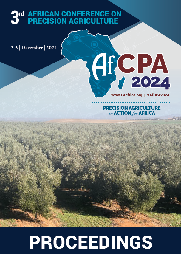
Proceedings
Authors
| Filter results10 paper(s) found. |
|---|
1. Orchard Yield Assessment in North-East of Morocco using Satellite ImageryAgricultural sector represents one of the pillars of the Moroccan economy. The Green Morocco Plan (GMP) established in 2008 present the main engine of development of this sector and for local economy. One of the objectives of Pillar I and Pillar II of GMP was to maximize production with less use of water resources. As an effect of climate change, Morocco is experiencing a strong variability in spatial and temporal variability of precipitation with a detrimental effect on yield and quality of crop... K. Aberkani, A. Matese, S. Samri, M. Said, S. Di Gennaro, P. Toscano |
2. Effect of Plant Population and Nitrogen Rate on Growth and Yield of Two Pre-release rice varieties in KenyaThe application of precision agriculture (PA) through the optimization of plant population and management of fertilizer nitrogen (N) can increase rice yield. Current rice (Oryza sativa) plant population and fertilizer nitrogen (N) management guidelines in Kenya were developed from research conducted about three decades. These management guidelines might still be robust and could be applied to recently released as well as close-to- release varieties. However, the yield potential of... W. Kioko, W. Kioko, W. Kioko, W. Kioko, O. Kitonyo, G. Chemiming'wa, S. Gebeyehu, R. Murori |
3. Using Remote Sensing to Develop Site-Specific Nitrogen Management in Citrus OrchardsIntegrating multivariate spatial analysis with the delineation of site-specific management zones (MZ) provides a basis for practical and cost-effective management of water and nitrogen (N) fertilization in precision agricultural (PA). In many crops, measurements of leaf N content are used to assess the plant’s nutritional status and to develop fertilizer application plans for optimal yields. Accordingly, the aim of this study was to develop leaf N content prediction for citrus based on multispectral... E. Rave, N. Ohana, R. Linker, D. Termin, A. Beryozkin, T. Paz-kagan, S. Baram |
4. LiDAR-based soybean crop segmentation for autonomous navigationThe technological advances in the last few decades have greatly changed agricultural operations. In order to became safer, more profitable, efficient, and sustainable, modern farms have adopted the use of sophisticated technologies, such as robots, sensors, aerial images, and GNSS (Global Navigation Satellite System). These technologies not only increase the crop productivity, but also reduce the wide use of water, fertilisers, and pesticides. Due to this, they reduce costs and negative environmental... V.A. Higuti, A.E. Velasquez, M.V. Gasparino, D.V. Magalhães, M. Becker, D.M. Milori, R.V. Aroca |
5. Deep Learning is bringing pan-African small holder advisory services based on mid-infrared spectroscopic soil analysis to the next levelThe majority of African smallholder farmers do not have access to soil analytical services. The main reasons are relatively high costs of wet chemical services and difficult logistics. As a result they have to rely on blanket fertilizer recommendations. This often causes poor soil management due to very heterogeneous soil conditions. As a result, the return on investment from blanket fertilizer recommendations is low and fertilizer acceptance is not growing among smallholder farmers. Soil spectral... T. Terhoeven-urselmans, D. Fletcher, M.M. Karanja, J.W. Kamau |
6. IA Algorithm for Plant Counting: Palm Oil Trees ExampleCounting and estimating plants can sometimes be a real challenge. In this presentation we will see a concrete example of the application of UAV imagery and AI applied to palm cultivation in order to count the plants on a given area. ... A. Karim |
7. Implementing Field-Based High Throughput Plant Phenotyping: The Open Source Way... Y. Kassim |
8. Factors Influencing Farmers’ Decisions on Timing and Application Rates of Irrigation Water in Semi-Arid Regions: A Case-Study of Mwala, Machakos County, KenyaThis study investigates the factors influencing farmers’ decisions on water application in arid and semi-arid regions, where water shortages are prevalent due to low and unreliable rainfall. The research involved interviewing 41 farmers registered under the Equity Group Foundation extension scheme, focusing on their irrigation scheduling techniques, timing, application rates, and other factors such as plant and soil conditions. The study also involved laboratory analysis of soil samples... D. Mongína, C.K. Gachene, G. Kironchi |
9. High Resolution Mapping of Long-Term Soil Organic Carbon Stocks and Changes in MoroccoSoil organic carbon (SOC) as a major part of the soil organic matter (SOM) is important for soil productivity stability and climate change mitigation. Current regional SOC maps are not detailed enough and thus, do not support decision-making at farm and landscape and do not track carbon long-term changes. Using large soil dataset, multispectral satellite data, climate data and machine learning , we created a high-resolution topsoil (0-30cm) map of Morocco and estimated the... B. Gerrard, E. Ben-dor, M. Bayad |
10. Optimizing Durum Wheat Nitrogen Nutrition Index (NNI) Prediction Through Sentinel-2 Vegetation Index IntegrationNitrogen is crucial for durum wheat growth and productivity, but excess or insufficient levels can harm both the environment and farmers' finances. Remote sensing offers rapid, cost-effective, and nondestructive ways to assess crop nutrition, with vegetation indices (VIs) indicating plant health. This study aims to enhance the accuracy of durum wheat nitrogen status prediction by investigating modified formulations of Nitrogen Nutrition Index (NNI) coupled with various vegetation indices (VIs),... N. Boughattas, K. Marwa, Z. Mohamed, A. Sawsen, A. Soumaya, H. Hafedh, H. Imen, T. Youssef |